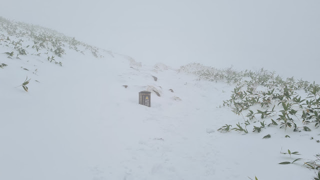
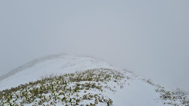
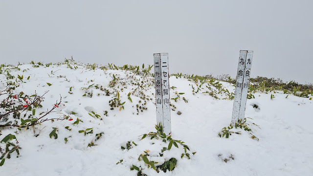
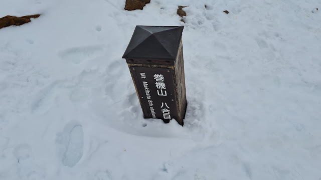
The marker for this mountain is in the fake summit. The real summit is about ten minutes away to the right.
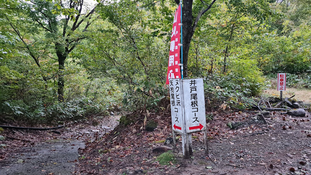
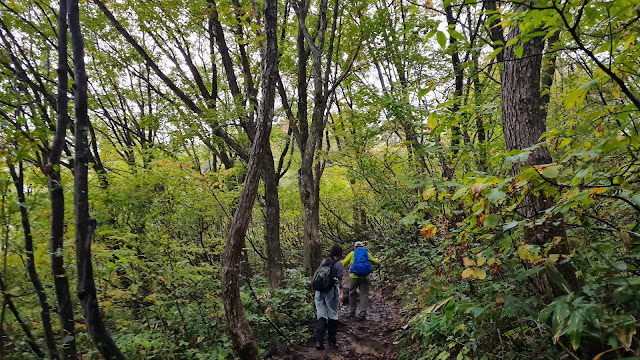
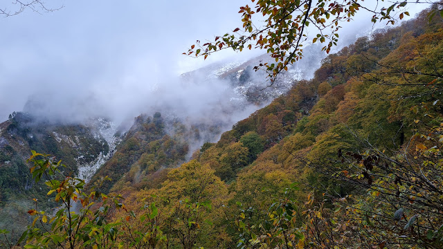
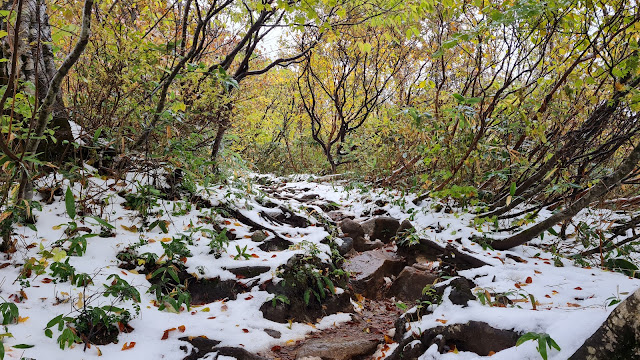
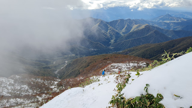
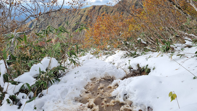
Trailheads. From the sole trailhead, the trails split into two - one which is mainly river crossing (left), and one which is, well, normal (right). If you are up for dangerous hikes, take the left one. But do not underestimate the danger.
Shimizu (清水). (Just one). Access as follows:
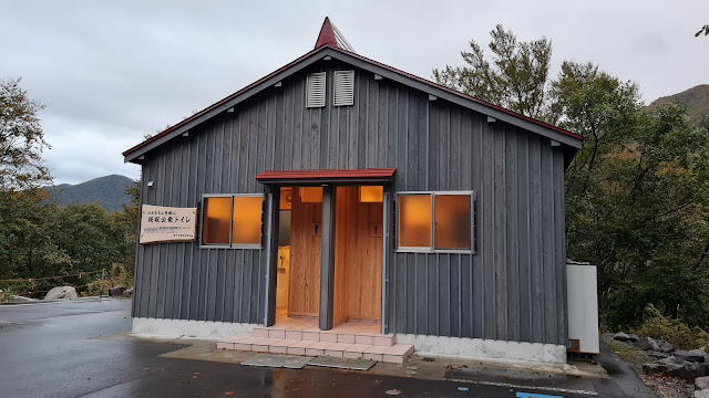
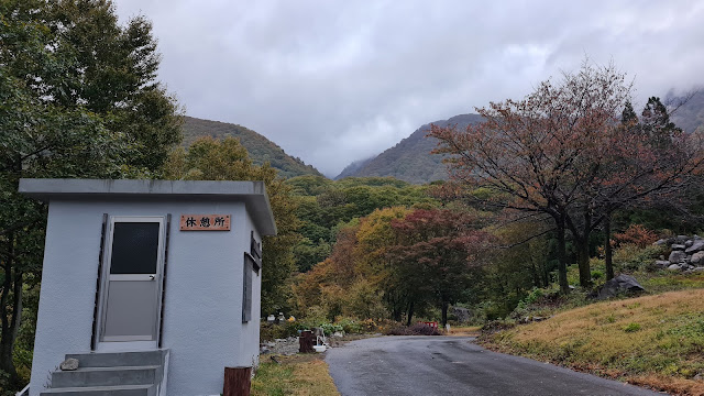
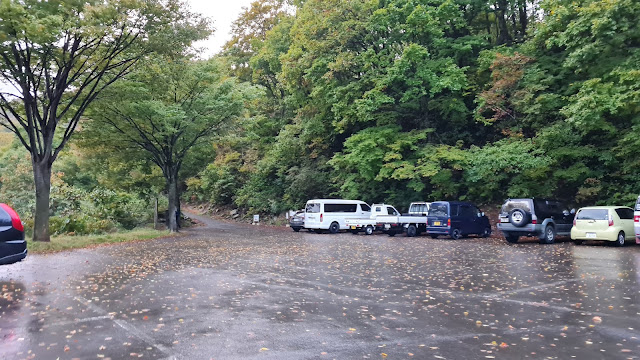
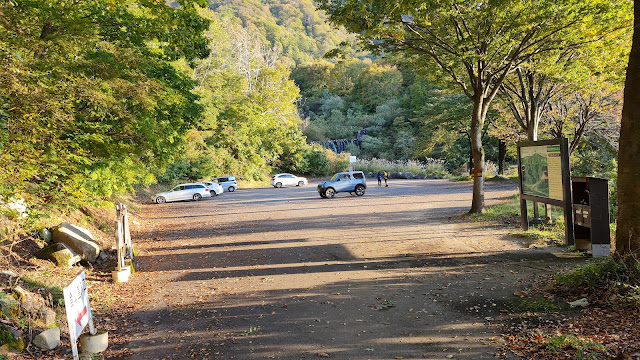
For those with car, there's a parking lot a bit higher than Shimizu - Sakurazaka (google maps pin). Parking fee is JPY500. There is a guy that will be there collecting the fee in the afternoon. There are a couple of parking lots, but we figured the best one was the one close to the parking lot.
For those without a car:
Train, Tokyo Station to Muikamachi Station (六日町駅)
Bullet train from Tokyo Station. JPY7,320, 135 minutes one way. Earliest you can get there is 8:23am, in which case you'll miss the first bus, so just try to be there before the 1:40pm bus.
Local train from Tokyo Station. JPY3,740*, 262 minutes one way. Earliest you can get there is 09:23am, just try to be there before the 1:40pm bus. *Seishun 18 ticket can be used.
Bus, Muikamachi Station (六日町駅) to Shimizu Station (清水). Google maps pin here.
The days when the buses are running are not written, which makes it possible that buses are running throughout the year. But make sure to check the link above to be safe, or this link on your specific calendar days.
If the buses are not running for winter, an option is to stop at Sawaguchi (沢口), which is four stops before Shimizu (清水), and then walk the additional 5.4kms to Shimizu. Google maps pin here. The bus runs throughout the year, except for New Year's.00
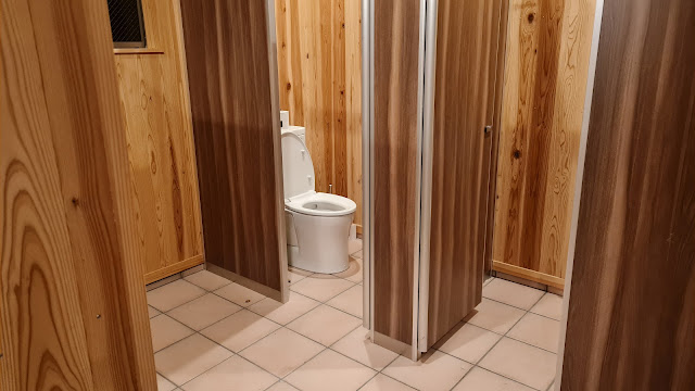
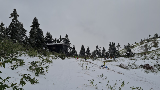
Mountain huts. Just a free one, though with a fee for toilet use (probably JPY100)
Paid: None.
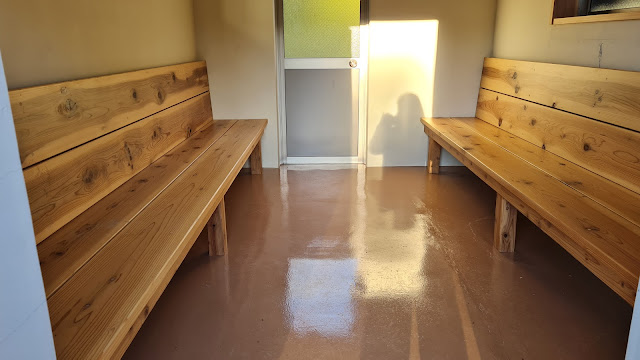
Free: 巻機山避難小屋. It looks amazing, it's two stories, and cleaned every Sunday (according to the guy cleaning the hut when I went there). Here are the pictures.
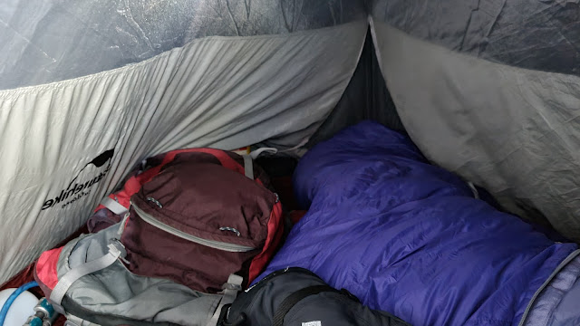
Camping: At the trailhead, none at the summit.
Itinerary
**via car, with the starting point at Sakurazaka parking lot**
Itinerary for using public transportation is in the comments.
Saturday
12:30pm. Meet at the station and start driving to the parking lot.
05:00pm. Arrive at the parking lot, eat dinner and camp for the night.
Budget: JPY5,780 (~USD) -JPY4,820. Two days' worth allocated with Seishun 18 ticket. (if from Tokyo) -JPY960. Bus, Muikamachi Station < > Shimizu Bus Stop (JPY480 one way)
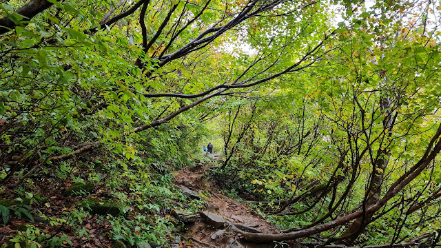
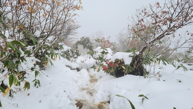
Route below is around 14.8kilometers, with an elevation change of ▲1,674m/ ▽1,674m
Friday -08:29am. Train, Tokyo Station to Muikamachi Station. -12:36pm. ETA: Muikamachi Station. Explore the area? Or try to get there late at night.
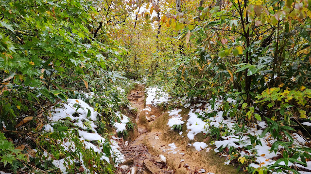
Saturday -08:15am. Bus, Muikamachi station to Shimizu. -08:50am. ETA: Shimizu. -09:00am. Start hike. -03:00pm. ETA: Summit -03:25pm. ETA: Emergency hut


**via Public Transport**
ReplyDeleteBudget: JPY5,780 (~USD)
-JPY4,820. Two days' worth allocated with Seishun 18 ticket. (if from Tokyo)
-JPY960. Bus, Muikamachi Station < > Shimizu Bus Stop (JPY480 one way)
Route below is around 14.8kilometers, with an elevation change of ▲1,674m/ ▽1,674m
Friday
-08:29am. Train, Tokyo Station to Muikamachi Station.
-12:36pm. ETA: Muikamachi Station. Explore the area? Or try to get there late at night.
Saturday
-08:15am. Bus, Muikamachi station to Shimizu.
-08:50am. ETA: Shimizu.
-09:00am. Start hike.
-03:00pm. ETA: Summit
-03:25pm. ETA: Emergency hut
Sunday
-05:00am. Start hike down.
-08:25am. ETA: Shimizu trailhead.
-08:55am. Bus, Shimizu to Muikamachi.