%20Mt.%20Hachijo-fuji.jpg)
A true sea-to-summit hike, I started from the port and started walking til I reached the summit. I've been to Tokyo's highest point - Mt. Kumotori, and all over the Okutama peaks, but nothing beats the view of this crater... If you know a place that does, please, please let me know.
Budget: JPY17,860 (~USD139) from Tokyo.

Budget: JPY17,860 (~USD139) from Tokyo.
- JPY15,860. Ferry, Tokyo < > Hachijojima.
- Discounted rate as it was booked online.
- JPY2,000. Accommodations in Hachijojima, one night.
- May 11, 2022
- Difficulty: 2 out of 5
- Route below is around 13.2kilometers, with an elevation change of ▲878m/ ▽881m (5h26m)
- Map Link

When to Go
Throughout the year. Hachijoujima has more of a tropical climate, I hear, and so does not have the cold winter of the rest of Tokyo. I have been in Miyakejima (one of the nearby islands) in January, and it snowed, but it wasn't cold and outside of that time where it was snowing, the weather remained pleasant.
Special Notes
Friday
Special Notes
- Weather forecast: Japanese.
- Trailheads.
- Official trailhead. Google maps pin. For those with cars.
- Hachijoujima Airport.
- Hachijoujima Port.
- Mountain huts.
- Paid. None.
- Free. None.
- Camping. None.
Friday
- Ferry from Tokyo to Hachijojima.
- Hike. Spend a night in a dorm (or camp for free)
- Ferry, Hachijojima to Tokyo.
Actual Log
Tuesday
Sunday
- 10:45pm. Started boarding the ferry from Tokyo to Hachijojima. We boarded a bit late. Don't forget to write down your name, phone number, address on the ticket.
- 09:00am. Arrived at Hachijoujima. Walked a couple of minutes to my hostel (Seadive dormitory), dropped by bags, and started walking to Blue Ocean for my guided scuba diving trip.
- 10:00am. Started the briefing for scuba diving, drove to the dive spot, went back and showered.
- 01:00pm. Done with the diving, started walking towards the dorm to drop off some things and get my hiking gear.
- 01:50pm. Started walking to the city center. I tried to find food first, but apparently everything closes by 2pm, and so I had to go the airport hoping they have a place to eat there. And thankfully there was.
- 03:00pm. Started my official hike from the airport. It was a 15 minute walk to the end of the road, and into the woods. It started like an old road, and then slowly changed into a dense vegetation that was quite sketchy to me, but I was already there so I had no choice but to continue on haha.
- 03:50pm. Back into the road. Walked for a bit to get to the official trailhead (for those with cars).
- 04:22pm. Arrived at the official trailhead (again, for those with cars). From here on, it was nonstop stairs til the crater.
- 05:00pm. Arrived at the crater and had my mind utterly blown away. Started my counterclockwise loop around the crater.
- 05:48pm. Reached the summit. Started heading back down.
- 07:44pm. Back at the city center. There was some fire festival going on, so I spent some time watching the show.
Thursday
- Walked around the town, tried the Jersey cafe ice cream, ate some western food at Pocket, explored the Ozato Tamaishi Wall, then took the bus to the famous onsen - Miharashi-no-yu at Sueyoshi Onsen (末吉温泉). I then ended the day by going back to the fire festival again.
- Worked. For lunch, I tried sushi at a nearby place.
Saturday
- Tried the Ashibata pasta (it was ok), then walked back to town to have some ice cream again, then tried Fureai no yu (ふれあいの湯)
- 09:33am. Ferry, Hachijojima to Tokyo. The ferry was late again.
- 09:08pm. Back in Tokyo. Ok, that was an awful loooong ride. Ugh.
 |
| After booking online, I had to get my ticket from the booth at the entrance. |
 |
| Hello, Hachijoujima! |
 |
| Saying goodbye to the ferry. |
 |
| The Sokodo Camp area. |
 |
| A pretty nice camp spot right next to the ocean. |
 |
| Walking from the ferry area to the airport - because the trail I chose is close to the airport (I didn't have a car). |
 |
| Hello Fuji! |
 |
| I felt like I was transported to another country. |
 |
| View of Fuji from the airport. |
 |
| Walking from the airport to the trailhead. |
 |
| The end of the road. |
 |
| But still some road. |
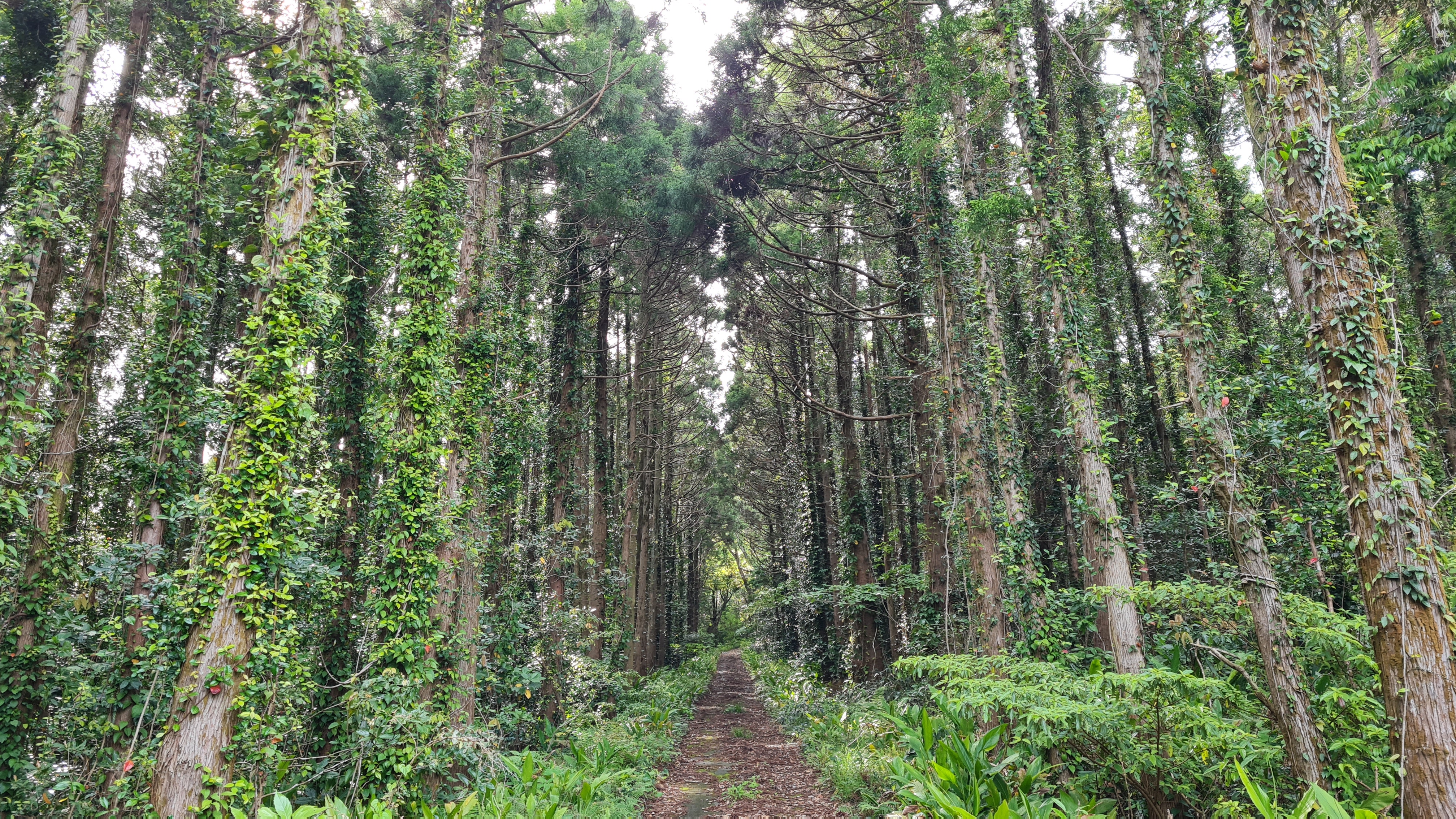 |
| Whoa. Maybe this was an old road? |
 |
| Ok, I think this is the end of the old road. |
 |
| The path were getting bushier by the second. |
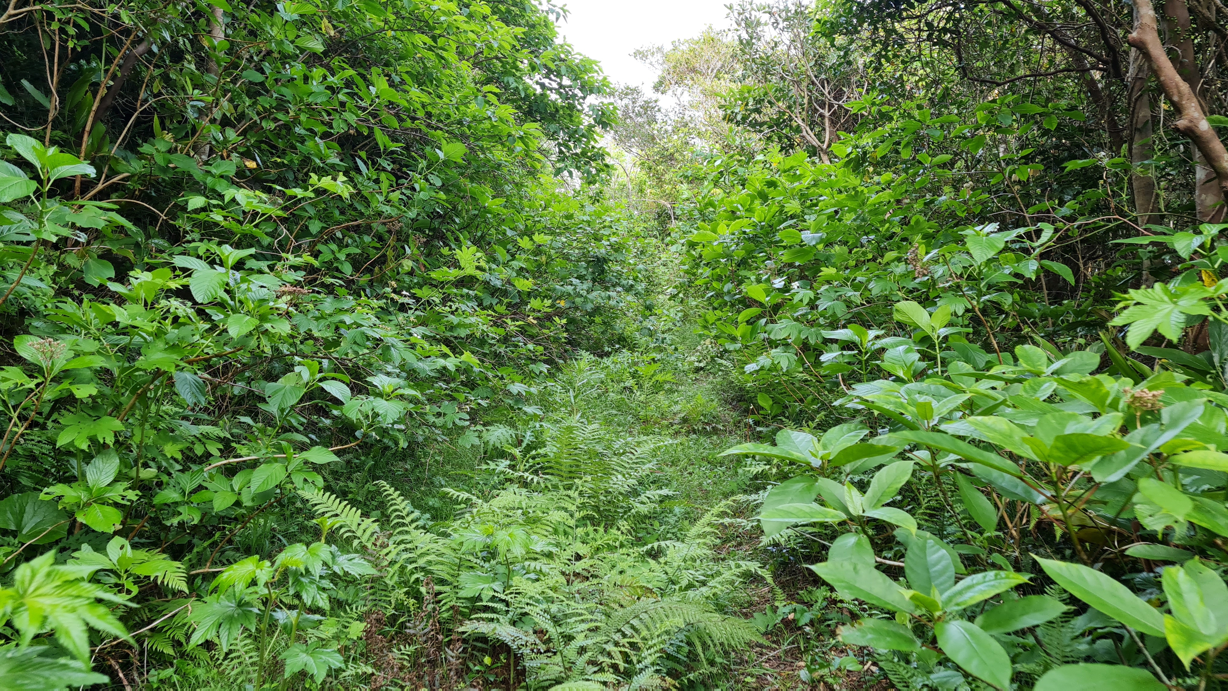 |
| Overgrown vegetation - aka the trail. |
 |
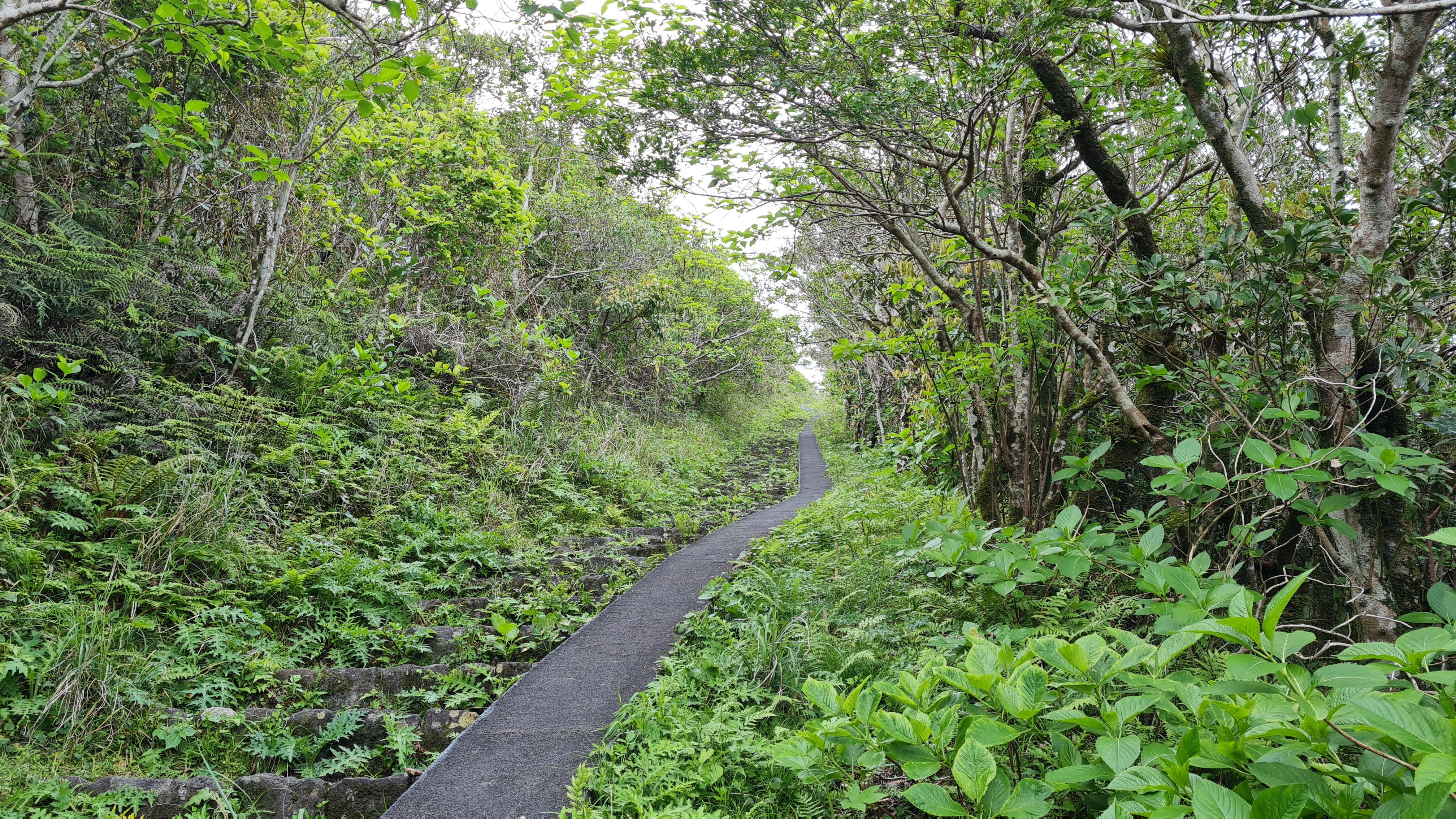
| Back to the main road. |
 |
| Now taking the main road. |
 |
| Looking at the summit! |
 |
| Looking back down. |
 |
| The official trailhead with only a couple of parking lot spots. |
 |
| Taking a left. |
 |
| The hike starts (again!) |
 |
| Nonstop stairs with a... flat bike road (?) to the side. |
 |
| 640 steps left. |
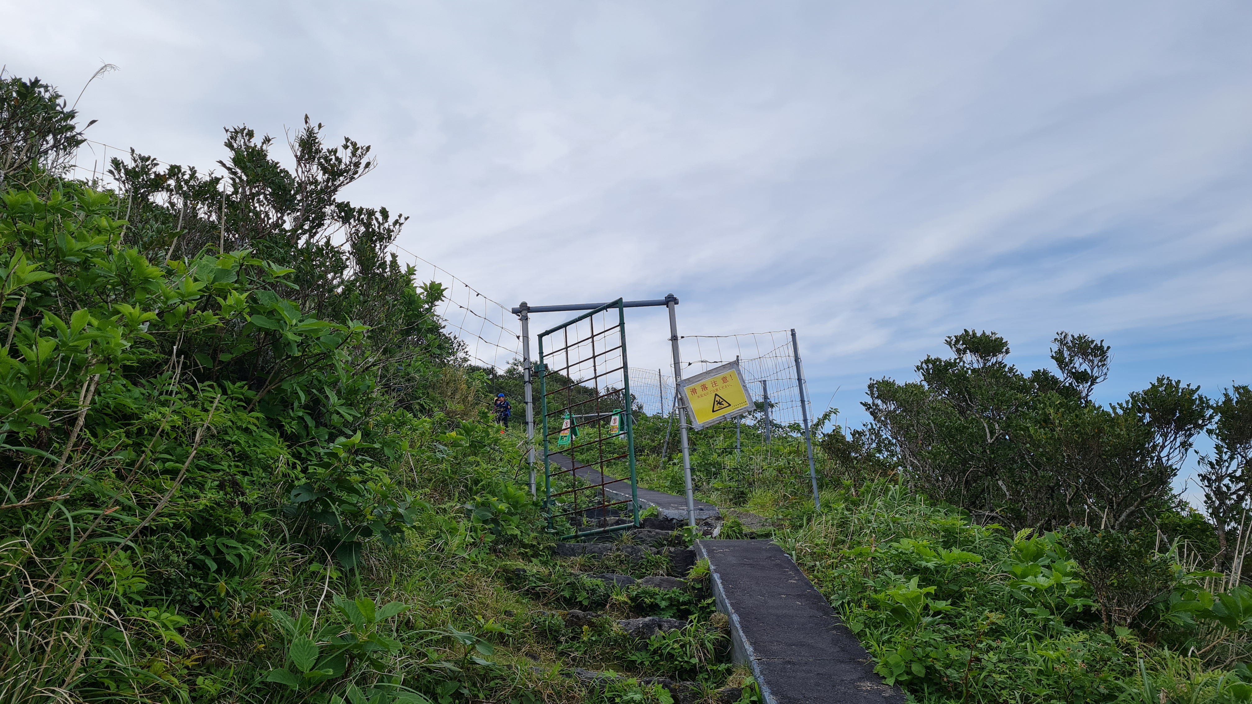 |
| A fence somewhere in the middle. |
 |
| Continuing the stairs up. Ugh. |
 |
| Finally a better view. |
 |
| WHOA. I was definitely blown away. |
 |
| Doing a walk around the crater. |
 |
| Just gorgeous. |
 |
| The trail some of which are slanted like this. |
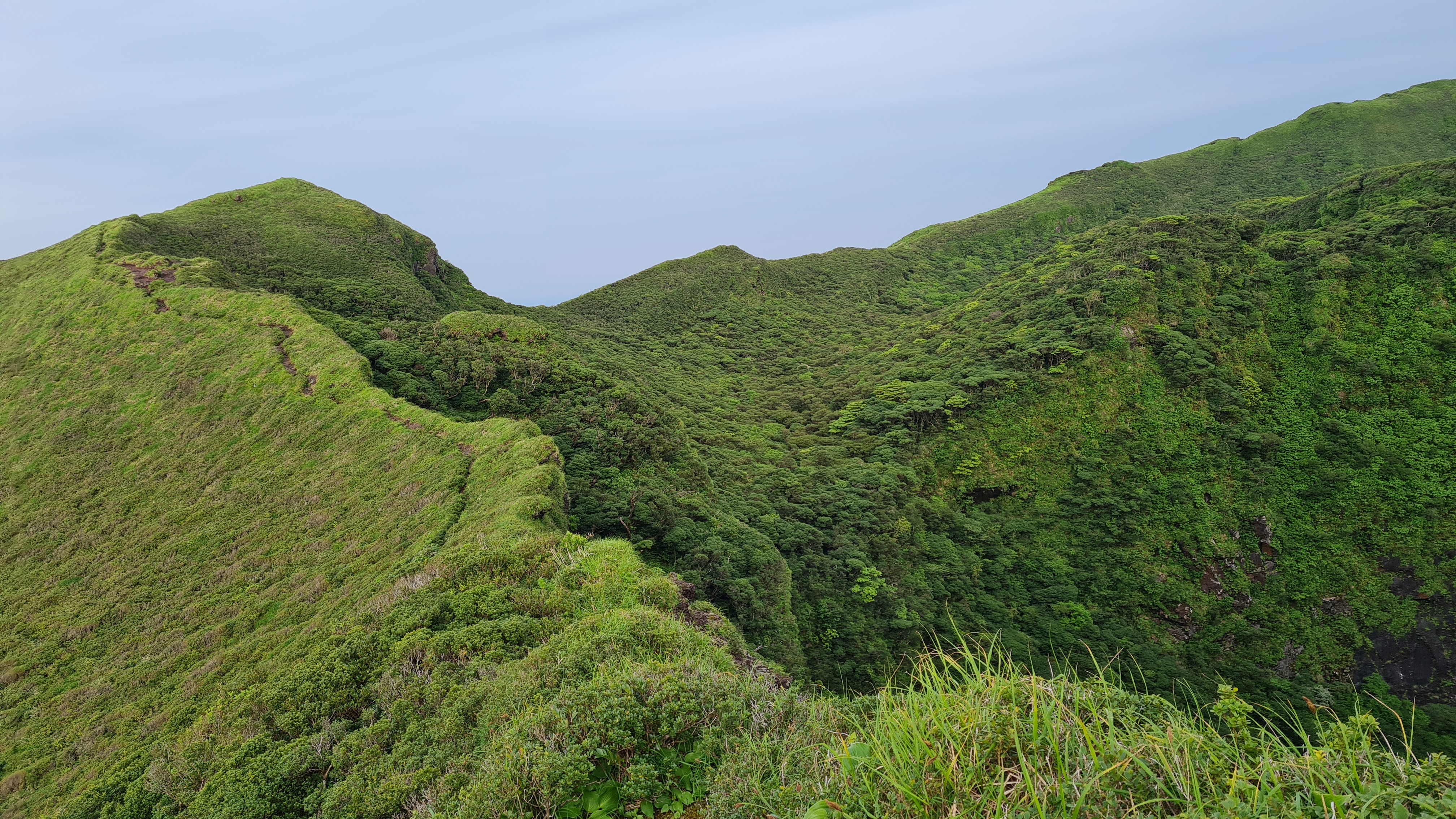 |
| Looking back. |
 |
| The little island next to Hachijiojima. |
 |
| Plenty of signs like this particularly with areas of cracks. |
 |
| Continuing on and looking at the other side of the mountain. |
 |
| SUMMIT! |
 |
| GORGEOUS. Seriously. |
 |
| The beautify mountain range on the other side. |
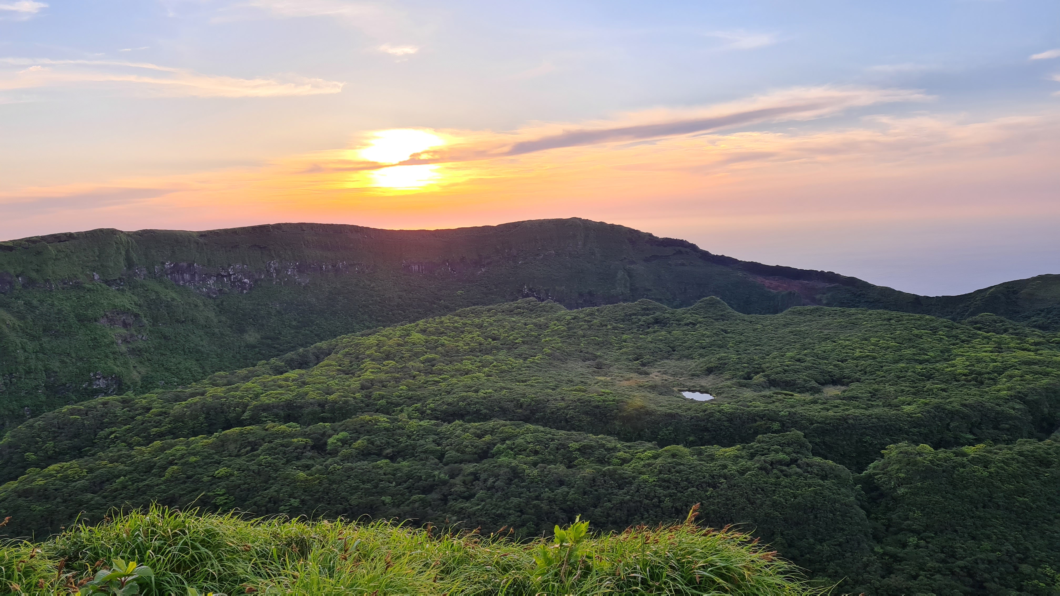 |
| The crater at the sunset. |
 |
| A little cave (?) near the summit which can be an emergency shelter I guess, but it's all muddy. |
 |
| Beautiful ridge. |
 |
| Back at the entry point of crater. |
 |
| Going back down. |
 |
| Back at the parking lot. |
 |
| At my hostel with people's scuba diving gear. |
 |
| Hanging out at Sokodo beach. |
Comments
Post a Comment
Comments are like mail in my postbox. Such a nice surprise. ^__^