(長瀞アルプス) Nagatoro Alps ・(宝登山) Mt. Hodo

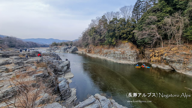
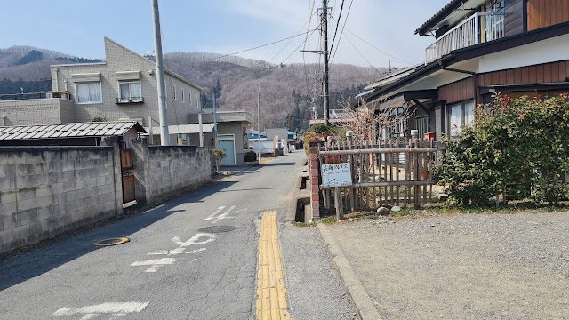
Nagatoro is pretty famous spot due to its rivers, but I'm visiting for the Roubai Festival, which normally happens end of January to mid February. I came mid-March, so I was a bit late.


Budget: JPY3,620 (~USD32) from Tokyo
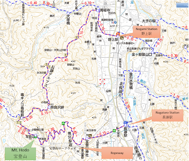
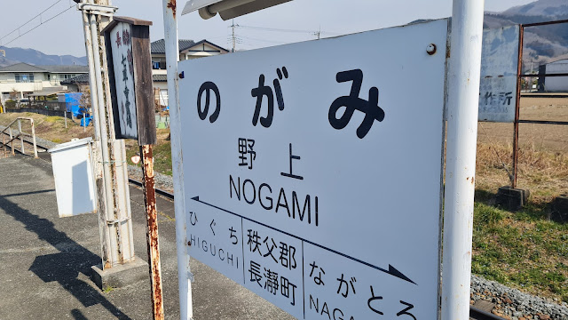
  • JPY1,760. Tokyo to Nogami Station. 
  • JPY1,760. Nagatoro Station to Tokyo
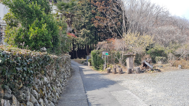
  • JPY100. Donation in the middle of the trail. Bring a coin!
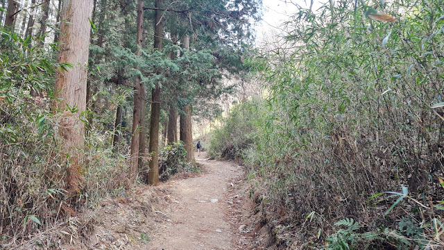
Hike Date / Difficulty (Elevation: 497m / 1,631ft)
  • March 13, 2022
  • Difficulty:  1 out of 5
  • Route below is around 8.5kilometers, with an elevation change of ▲525m/ ▽523m (3h30m)
  • Map Link 

When to Go
Throughout the year, but in late Jan to mid Feb they have the Roubai Festival, and early April they have the cherry blossoms. 

Special Notes
  • Weather forecast: Japanese
  • Summit is officially Mt. Hodo. 
  • Trailheads. Both train stations. 
    • Nogami Station (野上駅). 
    • Nagatoro Station (長瀞駅)
  • Mountain huts. 
    • Paid. None
    • Free. None
    • Camping. None 
Itinerary
  • 09:10am. Train, Tokyo to Nogami Station. 
  • 11:47am. ETA: Nogami Station. Start hike. 
  • 03:30pm. ETA: Nagatoro Station. Explore Nagatoro area. 
Actual Log
  • 11:47am. Arrived at Nogami Station and started hike. Path description in pictures below.
  • 12:07pm. Arrived at the trailhead. 
  • 01:31pm. Arrived at summit of Mt. Hodo, spent about 30 minutes eating/flying my drone. 
  • 02:35pm. Arrived at the ropeway parking. 
  • 02:51pm. Arrived at Nagatoro Station and explored the area for a bit and went home. 

Arrived at Nogami Station! 

Go straight right at the exit. 

Keep straight across the intersection. You'll see this white sign in the middle pointing to the trailhead. 

Some signs. Went straight, following "長瀞アルプス". 

The trailhead! I have to turn left here. There's a bathroom behind the sign. 

The trailhead, marked with that little thing in the middle with the green paint. 

Starting the hike. 


Comments